
Iran's National Cartographic Aerial-Photography Plane Returns to Service
18 October 2026 | 2 days ago
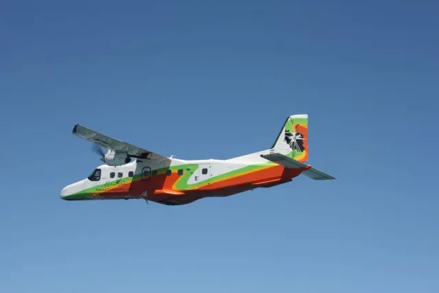
Source: Mehr News
Mehr News Agency reported on Sunday, 18 October 2026 that the National Cartographic Center's aerial-photography aircraft has returned to flight and operational service after an eight-year interruption. It is part of the specialist fleet used to collect mapping data, and its return restores a domestic aerial-imaging capability. The published report gives no number of missions, flight-area coverage or recommissioning cost, so it does not support a quantified operational impact yet.
More from this market
Tehran's Five Main Dams Hold 383 Million Cubic Metres, Four of Them Below Their Ten-Year Average
Mehr News Agency, citing national water statistics | 2 days ago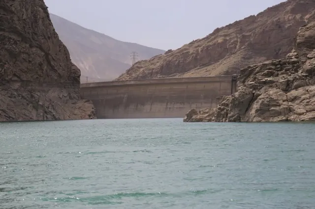
Iran Tax Authority Reports Rise in Business Tax Refunds in First Half of Year
Mehr News Agency, citing Iran's National Tax Administration | 2 days agoMore Than 550,000 March in France as Cost-of-Living Protests Spread to Belgium, Italy and Portugal
Al Jazeera | 2 days agoTehran Water Utility Reports Lower Summer Demand but Rainfall Still Below Average
Mehr News Agency, citing Tehran Province Water and Wastewater Company | 2 days ago